Better yields thanks to satellites

Satellite images show precisely how much seed should be sown and where. This innovation helps farmers achieve higher yields – and Italy’s largest dairy farm already counts on it for sowing its corn.

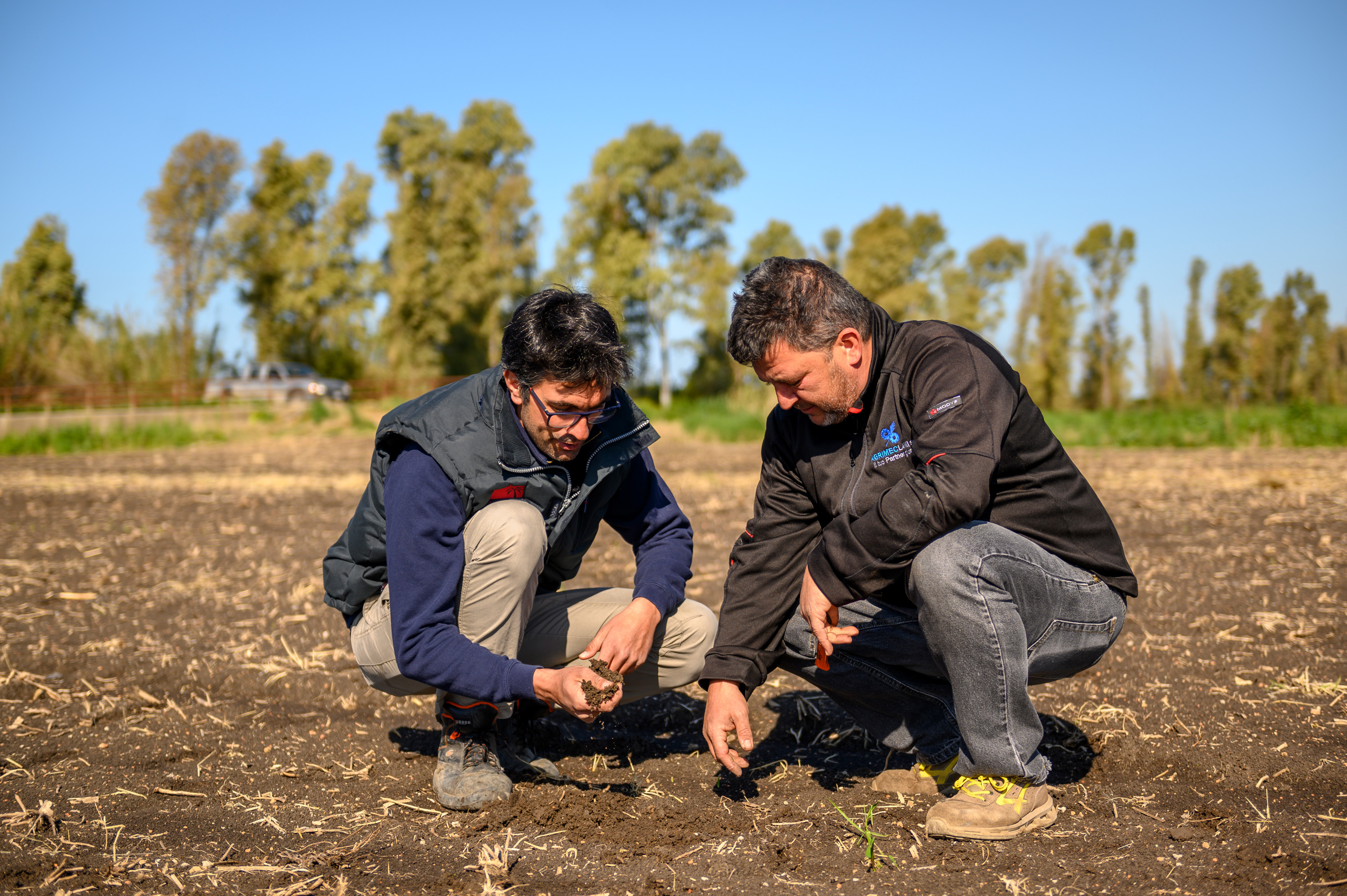
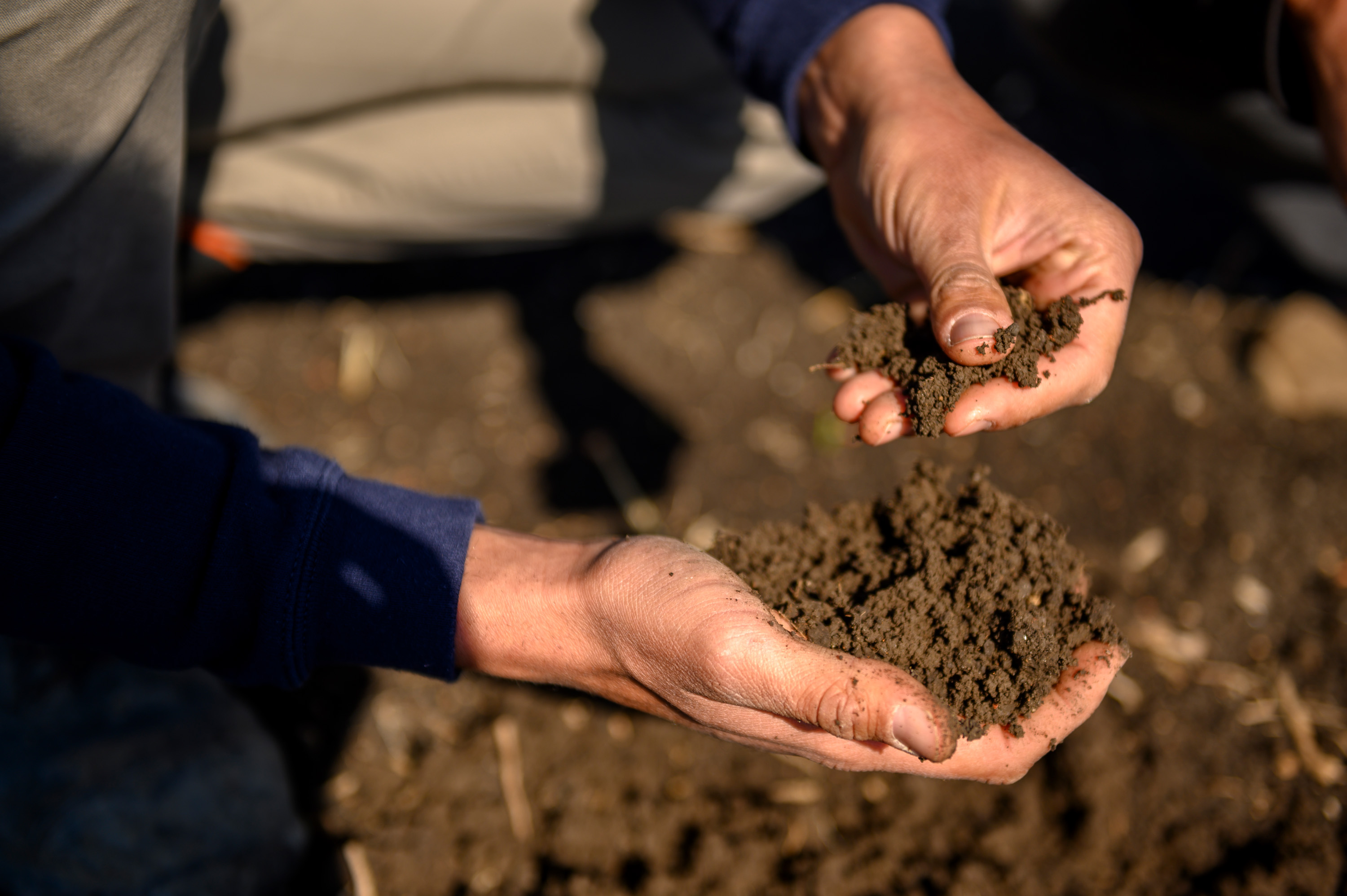
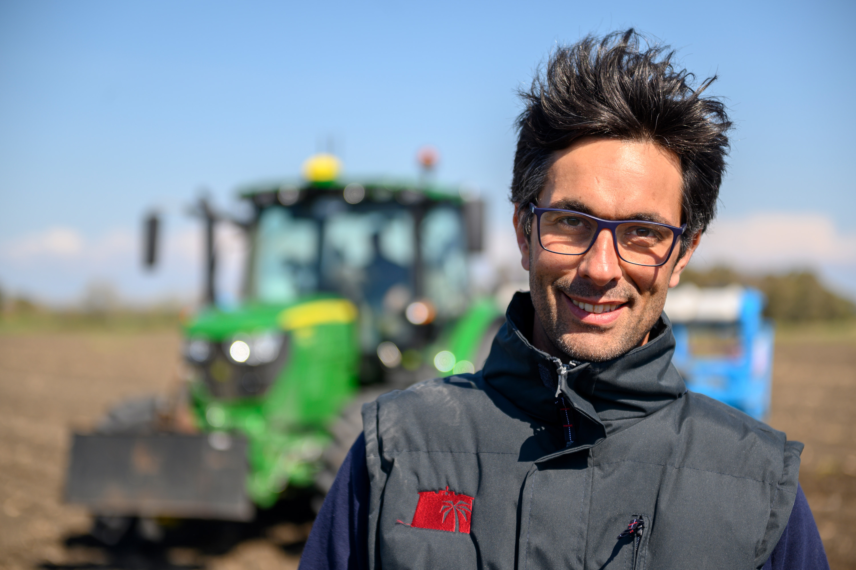
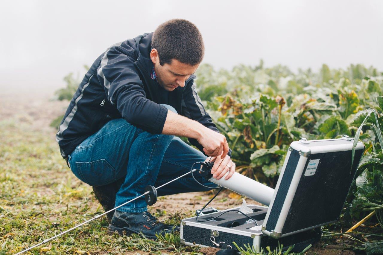
Simone Sebastiano rubs fine crumbs of soil between his fingers. “The crust’s already good,” says the farmer after reaching again into the deep-brown upper stratum of the field near Rome to examine the soil. “But it’s still too damp for seed.” That means he won’t be sowing any corn on this day in April, either. The wait for the ideal time for sowing continues at the Azienda Maccarese, one of Italy’s largest farms.

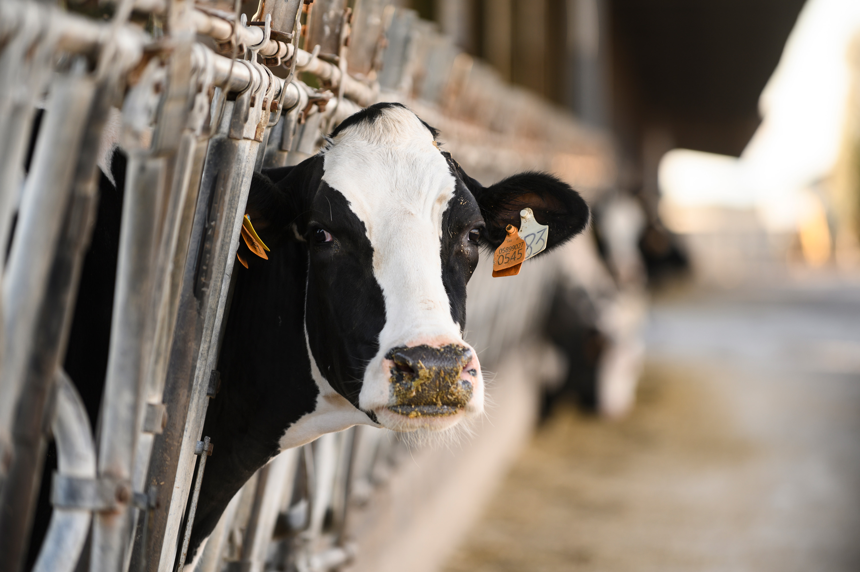
Maccarese was originally founded as a cooperative and has been owned by a holding company of the Benetton Group since 1998. It has more than 3,500 milk cows and produces approximately 40,000 liters a day, making it Italy’s largest dairy farm. Most of the people living in and visiting the cosmopolitan city of Rome drink their cappuccino with frothed milk from Maccarese. And to make sure the cows stay well-fed and productive, farmer Sebastiano and his team grow corn.

Farmers rely on satellite images from KWS

Sebastiano cannot just sow the seed anytime he likes – it depends on the weather. However, the 36-year-old and his employees do control the quantity of seed in order to achieve a maximum yield. Of course, they rely on their many years of experience for that, but they also use a cutting-edge method for analyzing satellite images that KWS has been testing in cooperation with several farms in Italy since 2018.

Soils are not homogeneous. The marshy area around Maccarese is a good example of that. There is more humus in the soil in some places; there are also areas that are low-lying and damp, while others are elevated and dry. Crops don’t grow equally well everywhere, and their yield varies, in some cases considerably. That is the same at Maccarese as anywhere else in the world. And that’s why farmers like Sebastiano program their seeders to sow more seed where more can grow. Yet that decision is often based above all on experience.

Digital maps show yield potential

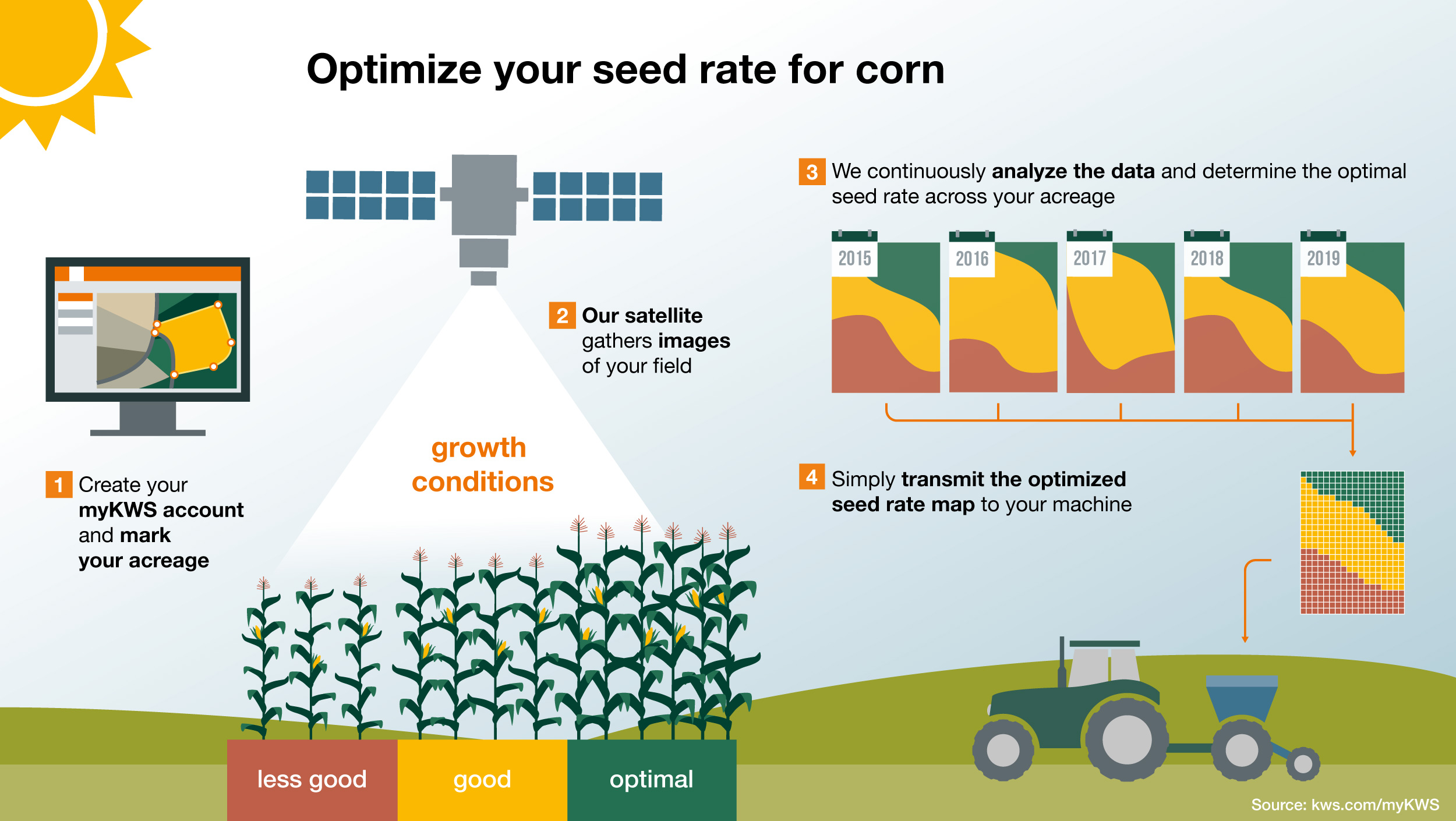
On the other hand, KWS’ systems use the concentrated force of big data and objective images from space. The Sentinel-2 satellite system of the European Space Agency (ESA) constantly supplies photos of the Earth’s surface. The satellites orbit our planet, and every five days or so they fly over the 3,200-hectare farm in central Italy where Simone Sebastiano works. The high-definition images enable the land cover to be identified: water, rock, forests, roads, fields and plants.

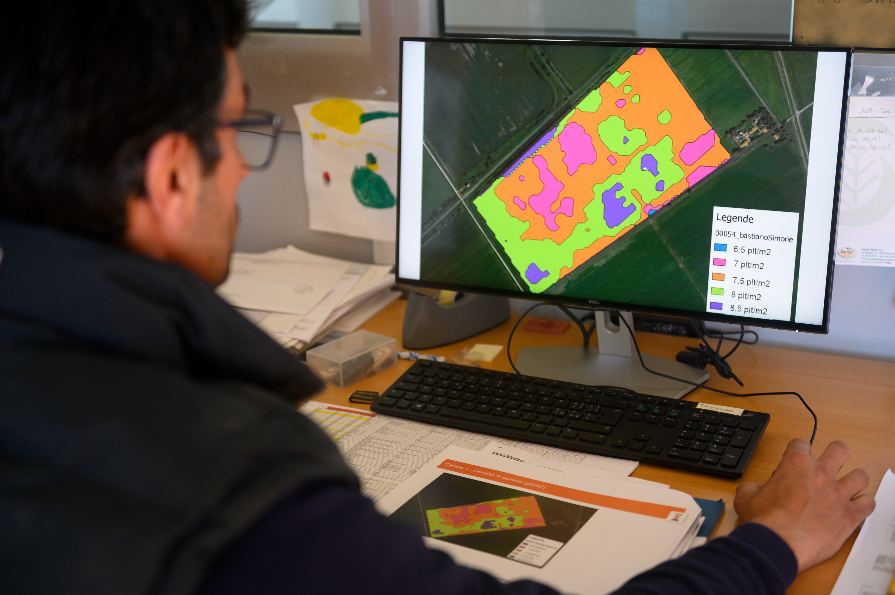
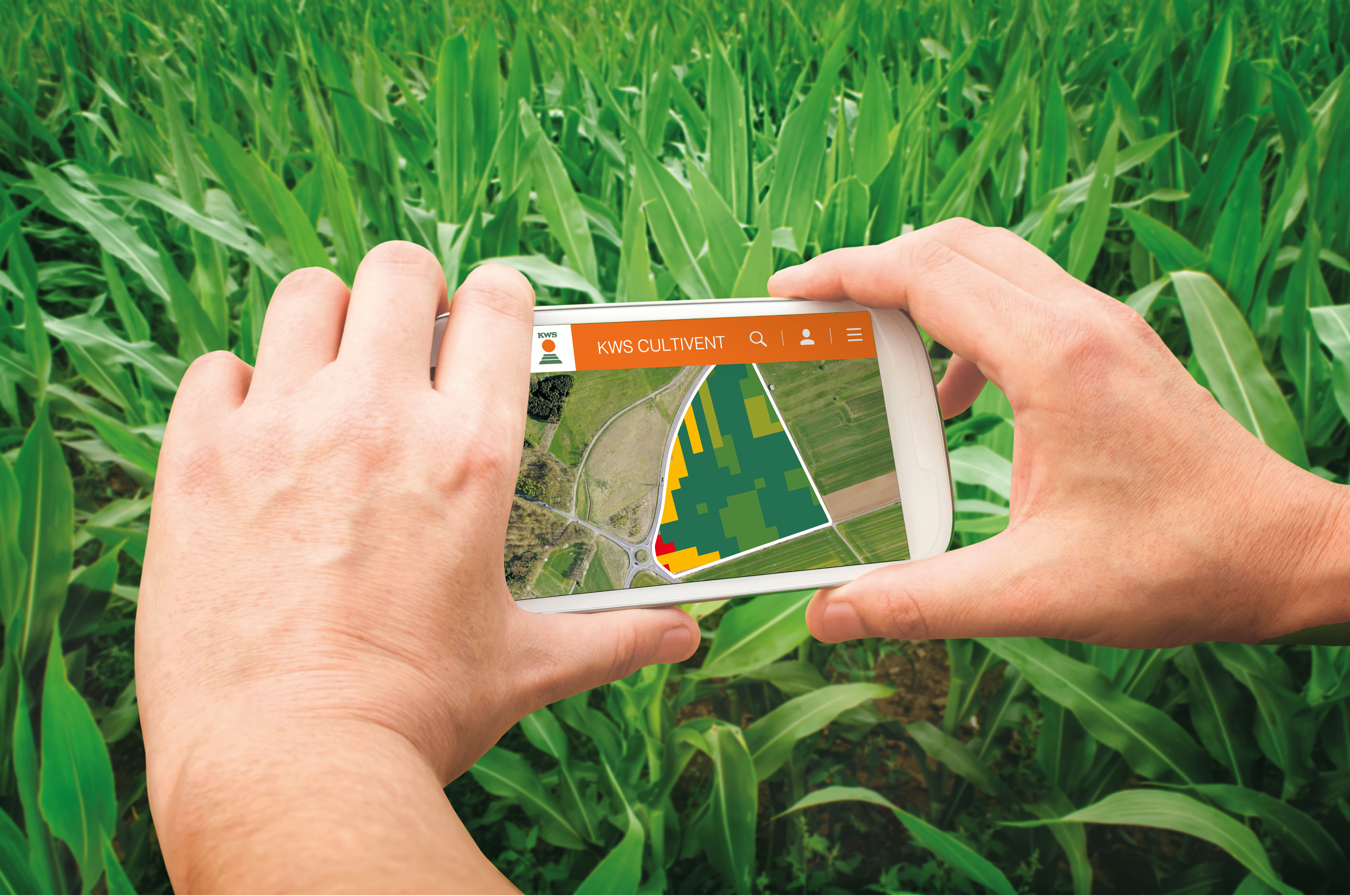
KWS has collected these images over several years and compared and analyzed them. The system uses this information to determine where more or fewer plants grow – down to a scale of ten by ten meters. A digital map created from the satellite data also shows Maccarese’s fields.

Bright colored areas extend across the virtual fields on the screen in Sebastiano’s office. The software displays the results from past years: The greener the hue, the more plants there were on the section in question, while red areas indicate a lower yield. KWS’ algorithm translates these findings immediately and then derives a recommendation on how much seed should be sown where. Shortly before it’s time to finish work, Sebastiano is satisfied with the planning and sends the information to his seeder with a click of the mouse.

Corn is the most important crop at Maccarese

Corn is to be sown as soon as possible – on almost one-third of the Maccarese’s 3,200 hectares of arable land. The farm harvests the whole corn plant, processes it into silage and feeds that to the cows all year round. Corn is also used as raw material to fuel its two biogas plants, which supply energy to the farm’s own dairy, among other things.

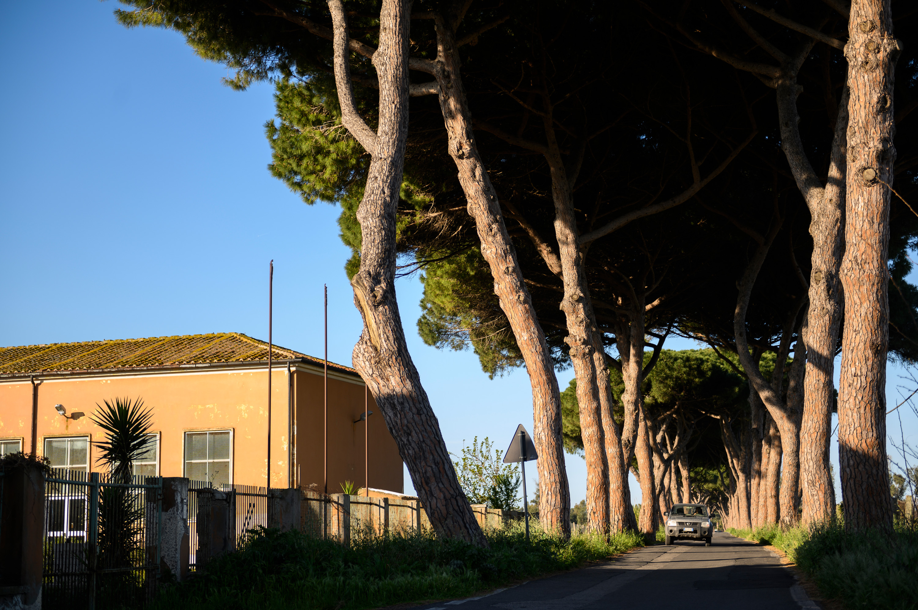
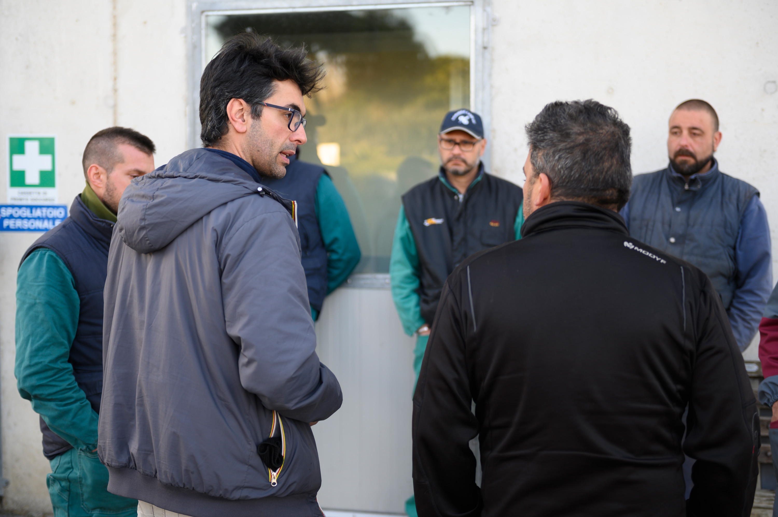
A new day dawns. In his mud-caked gray pick-up, Simone Sebastiano drives up to the huge farm’s administrative building. He has been out and about in the fields with his colleague Enrico Gazzola since the early morning. The soil sample returned positive results this time – sowing can begin, and the KWS system can prove its value in practice just like it did the previous year. A little later Sebastiano, Gazzola and 15 employees are standing in the warm light of the morning sun, discussing the sowing process.

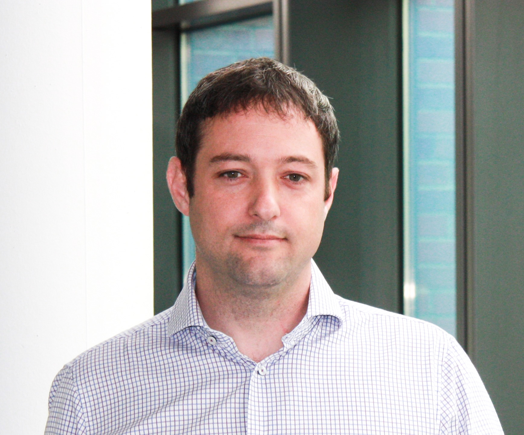
Farmers naturally have a very intimate knowledge of their fields. “But many of the contractors they hire for sowing don’t have such precise knowledge of the field,” says Mark Bieri, the KWS expert agricultural scientist who developed the algorithm for analyzing the satellite images. “In some regions of Europe, there are also very large fields that even the farmer doesn’t always know in detail.”

It’s not about doing everything differently, the expert explains. The variable sowing system helps increase the yield by a few percentage points. “The satellite system delivers a lot of advantages,” confirms Simone Sebastiano. “In particular, the plants and corn ears in the field grow far more evenly. And they’re also a lot easier to harvest. And last but not least, we save money – we can now sow seed more precisely and produce the exact amount we want.”

Increases in yield of up to ten percent

In the best-case scenario, says Mark Bieri, the satellite-based variable seeding rate can increase the yield by around ten percent. KWS aims to expand its service moving ahead: Serbia and Germany are to be added as pilot countries in 2019.

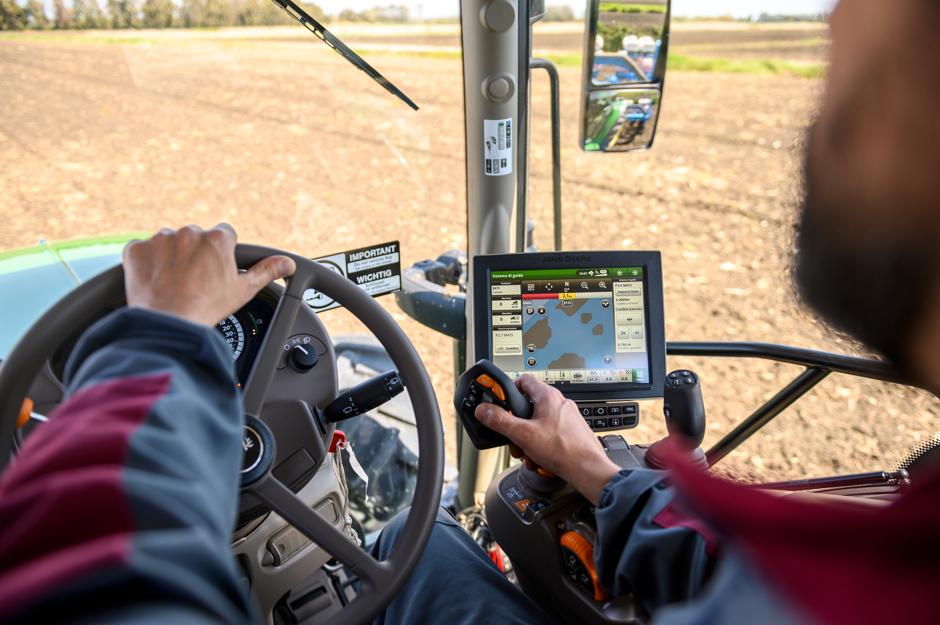
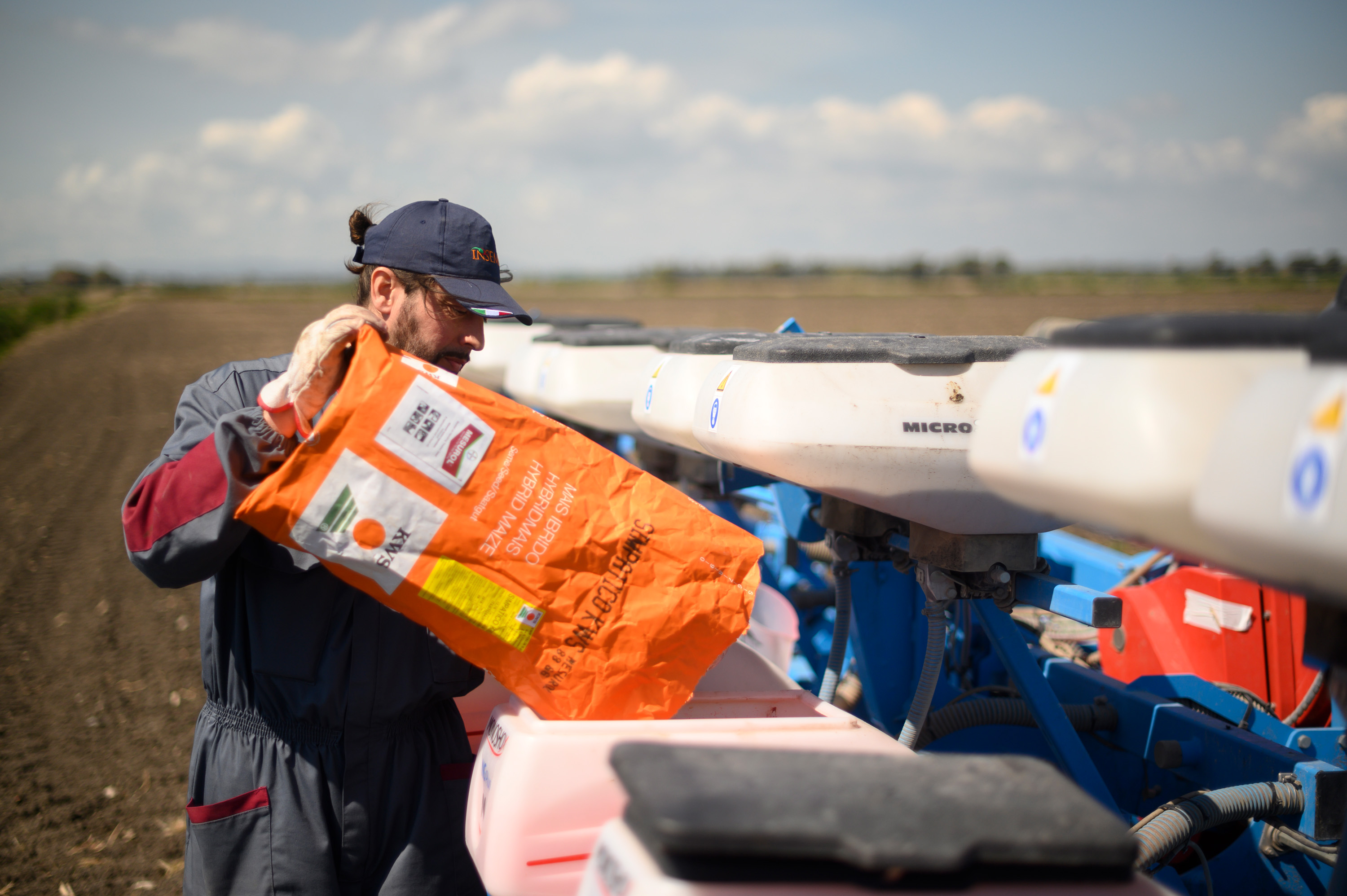
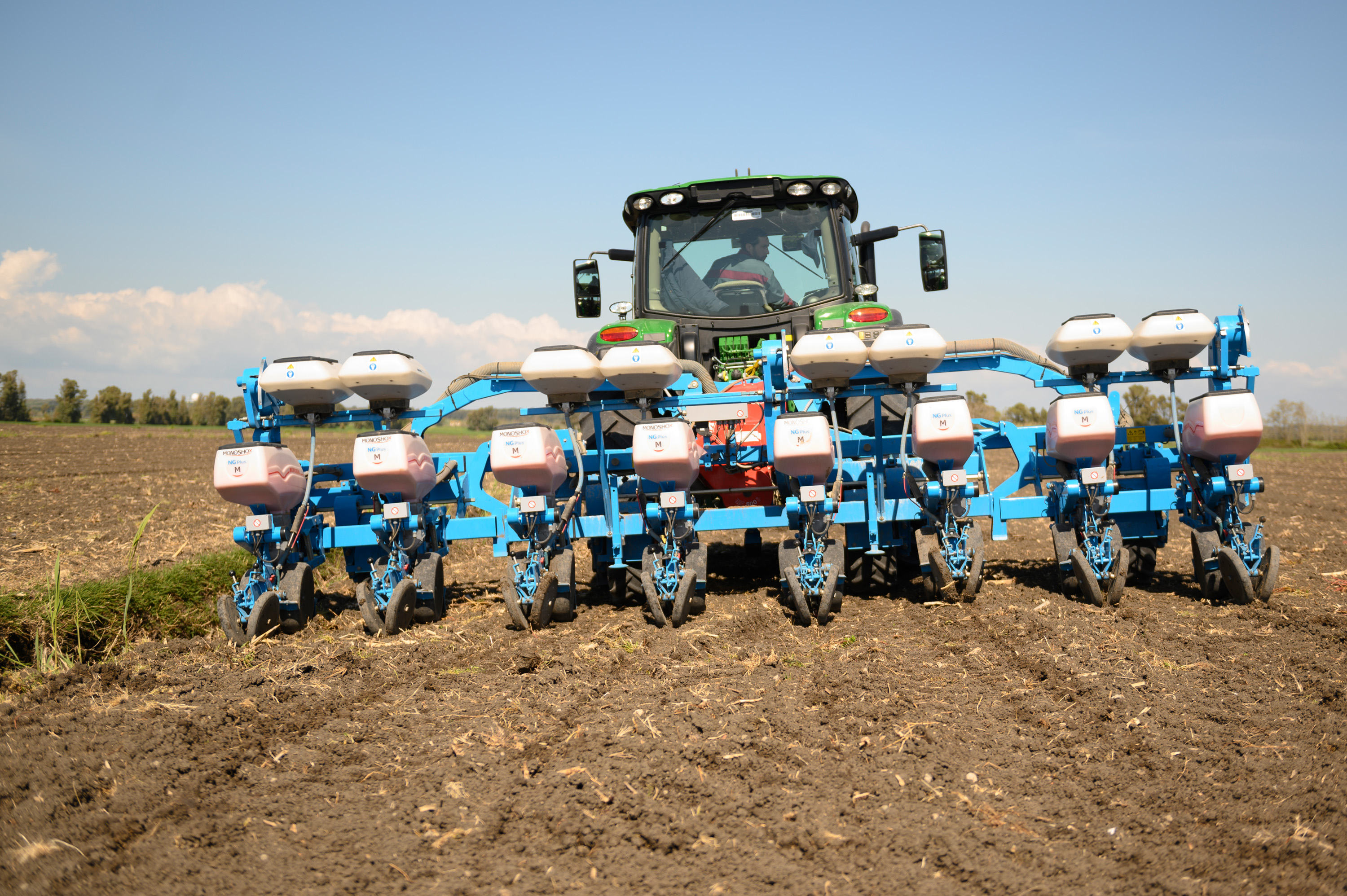
In the meantime, employees of the Azienda Maccarese are in the field, filling hybrid corn seed into the eight hoppers of the seeder hooked up behind a green tractor. On its roof is an orangish-yellow component that communicates with the onboard electronics and feeds in the digital map material. Supported by GPS navigation, the John Deere slowly sets off and wends its way over the field.

Simone Sebastiano kneels in the furrow that has just been created, examines the depth and spacing of the seed, and then stands up jauntily. “All’s fine,” he says. “The rain’s now welcome again.”

Drones, satellites, data: What precision farming is all about

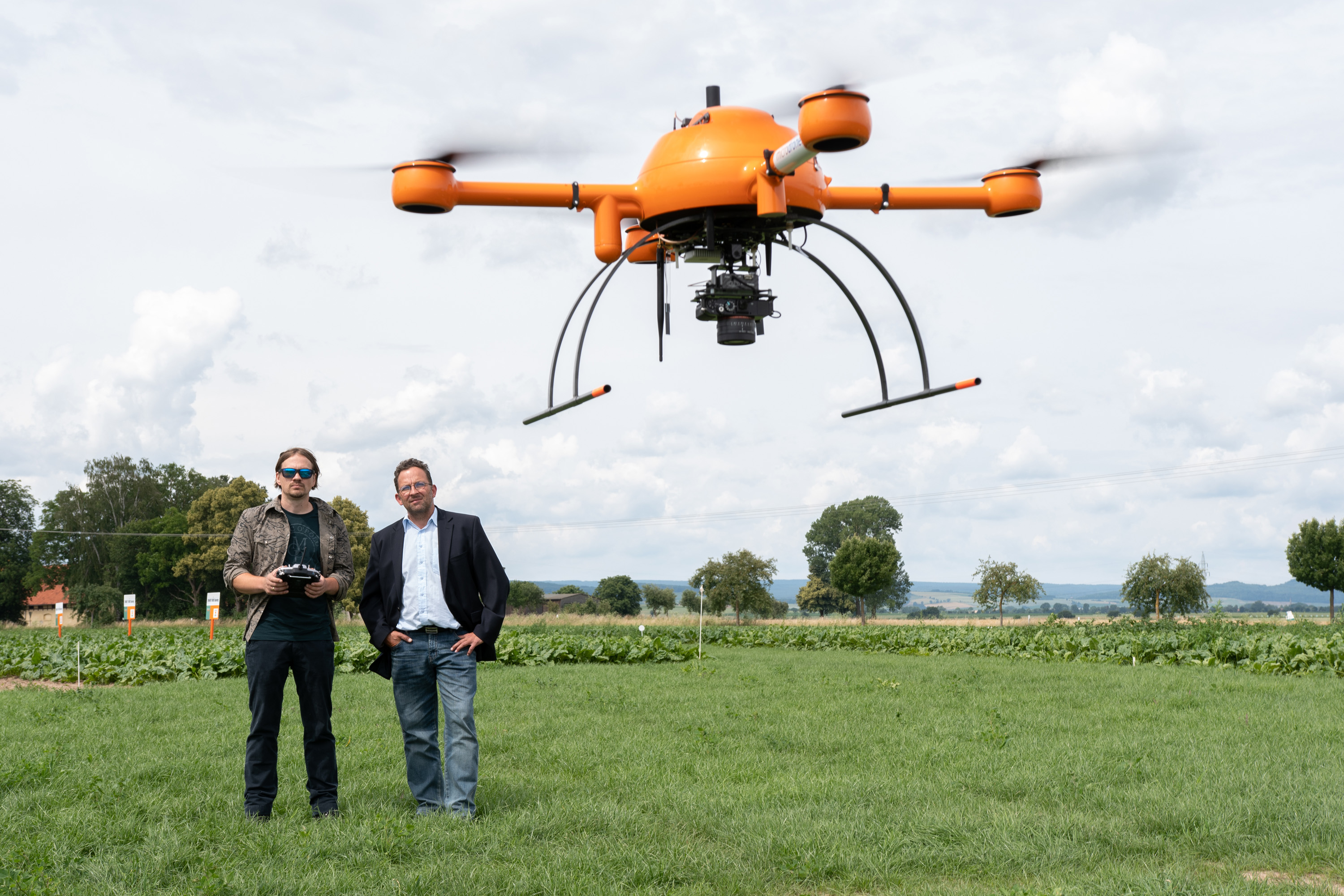
Whether varying the amount of seed sown, monitoring plant growth or determining the ideal time for harvesting: Farmers increasingly base their decisions on big data and high-definition images. Satellites and drones supply photos that deliver objective and precise information on how much fertilizer is needed, possible infestation by pests or the soil’s water content. “All that makes a contribution to resource-saving agriculture – and that’s one of our key objectives,” says KWS’ expert Mark Bieri.

Back to the "World of Farming" main page

Your contact

Stephan Krings
Stephan Krings
Head of Global Marketing and Communications
Send email
Mark Bieri
Mark Bieri
Send email
CONTACT