Variable Rate Sowing
Making optimal use of the potential arable land
- Optimizing sowing with satellite maps
- Exploiting the yield potential of good subplots
- Avoid stress on less good partial areas
Variable Rate Sowing for maize and cereals
Agricultural land varies greatly in terms of soil structure and water holding capacity and often changes within an area. This makes it difficult to meet all conditions when selecting the optimum seeding rate. With variable rate seeding, you have the option of responding to the conditions of the subplots
Customise your land with satellite images
How we do it?
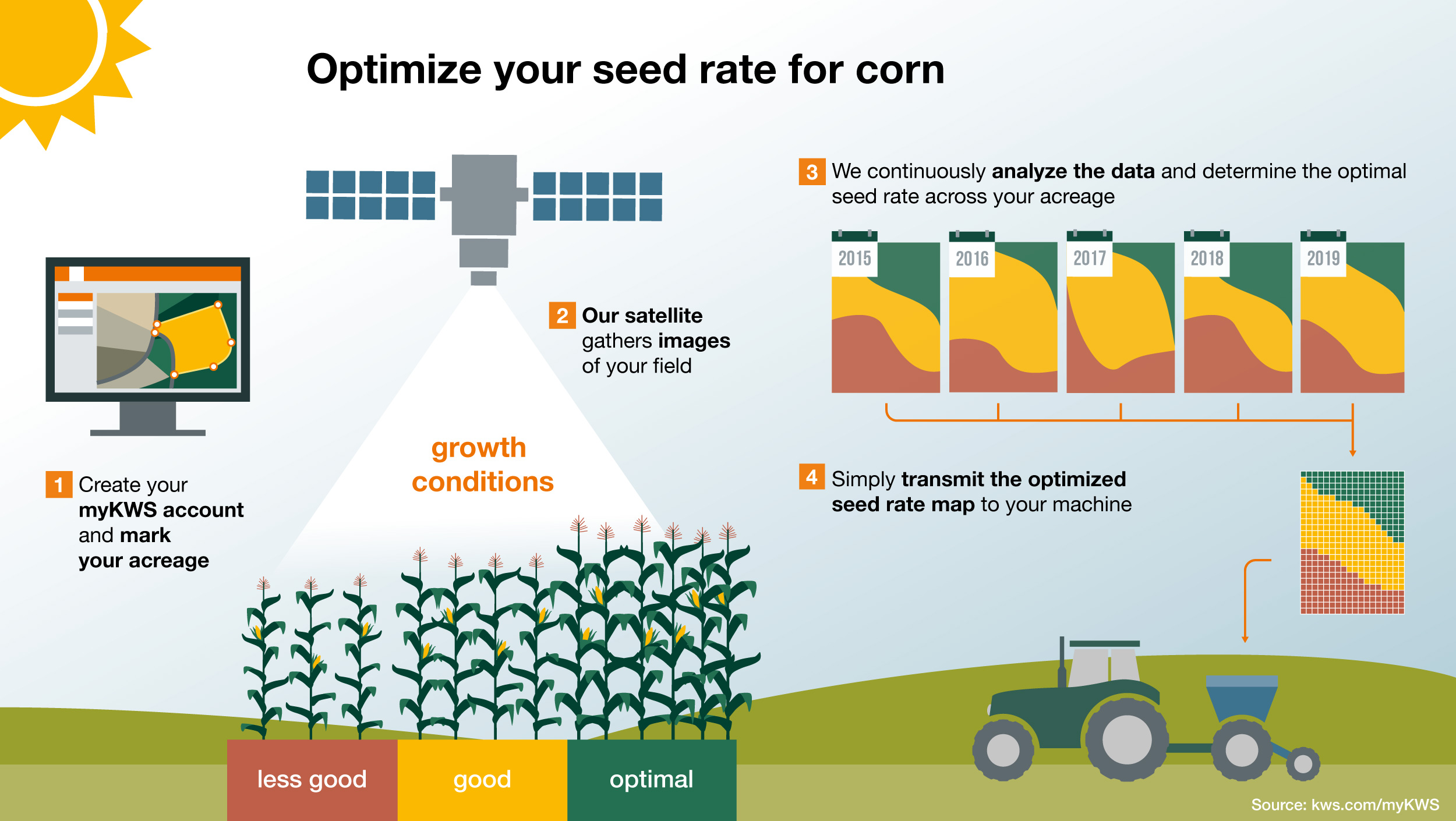
The production potential of agricultural land can be estimated on the basis of satellite images recorded over several years and this data is then transformed into maps for sowing.
How do we read the information?
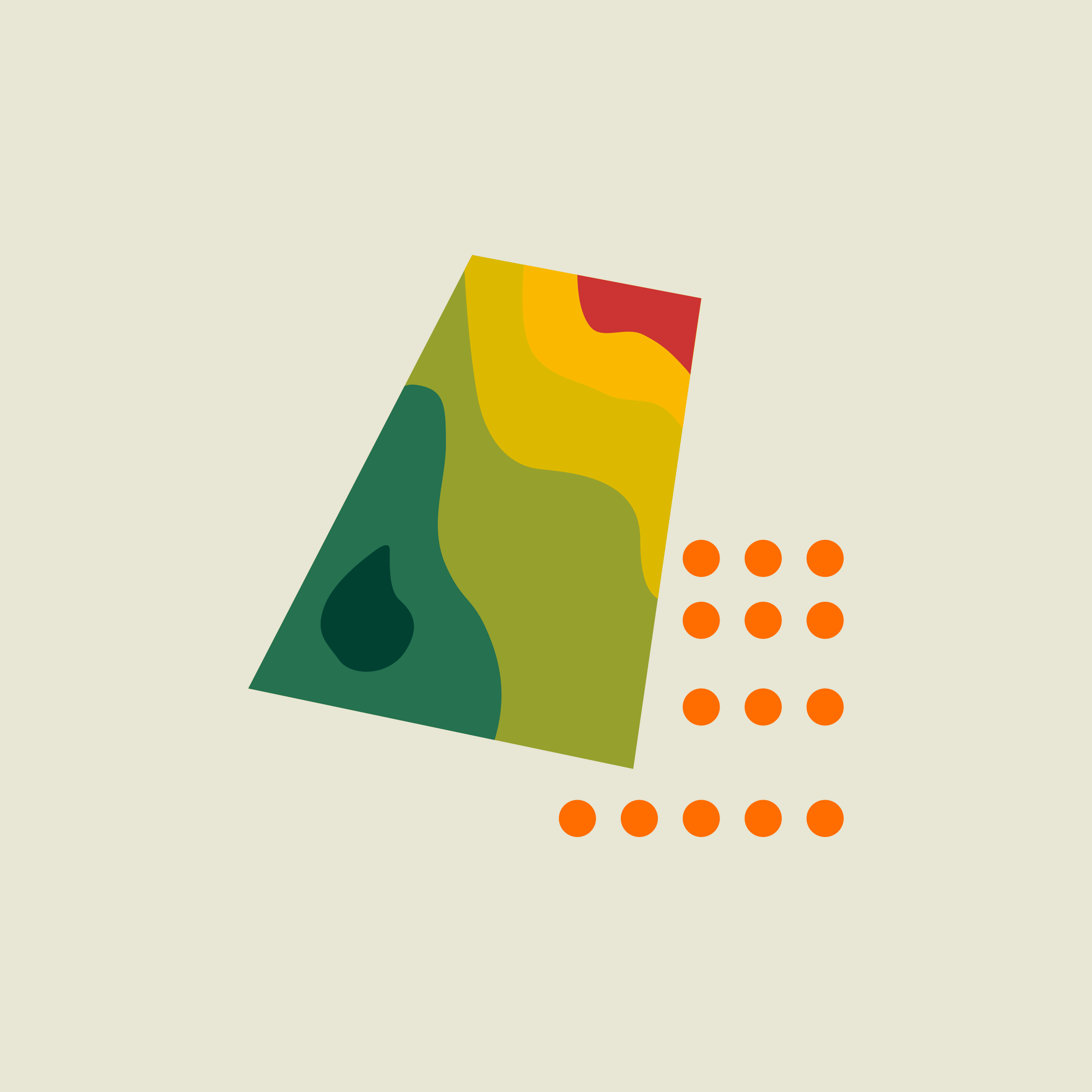
The greener the shade the higher the yield capacity, the redder the map, the lower the yield potential of the plot. Seed density can be adjusted according to the subplots.
Benefits
Using different seed densities will help you fully utilize the potential of your area and get the most out of your seed.
But what makes our system unique is that we augment the objective data with empirical values and our own knowledge about varieties
This is how the Variable Rate sowing works
Service and function at a glance
- A USB stick is used to transfer the maps to the Isobus terminal of the tractor or the seed drill.
- A precision seeder, which enables variable seeding, converts the seed map into variable and site-specific seeding.
- The resolution of the maps is ten by ten metres.
- In this way, small-scale soil differences within the arable land can be taken into account.
Frequently asked questions about variable rate sowing
Arable land is heterogeneous. Soil types and soil properties vary within a field. Some subplots always offer sufficient water and good growing conditions - other subplots less so.
You can react to these differences in the area by adjusting the seed rate. With sub-area-specific sowing, you can adapt the sowing rate everywhere to the particular soil conditions of your area.
Because site-specific sowing varies the seed rate in the area on the basis of a map, an electronically controlled seeder is necessary. A GPS system for orientation on the field and a terminal for control are also necessary. The seed maps are loaded onto this terminal.
If you don't have such technology the maps that you can see in our platform are a good indication of the potential in your field and can be as interesting.
The system is free of charge. However, you need a voucher code to activate the area.
You can obtain voucher codes from your local KWS consultant. Feel free to ask your contact about it.
Your maize consultants
Your cereals consultants

