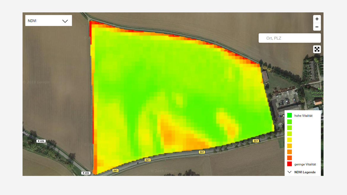
Field Vitality NDVI Tool
Advantages of using NDVI vegetation index maps
- Track crop development throughout the growing season
- Identify areas of crop stress in all parts of the field
- Aids soil sampling to improve fertility and yields
Services and features at a glance
- Access to satellite images showing the NDVI mapping for your selected fields
- Visible differences in maturity between areas
- Facilitated stress identification of all parts of the field, including those difficult to access
- Information available on the website via your myKWS login
- Updated weekly via satellite imagery
Do you need assistance? We are happy to help


