Precision in the field: Images from space show the right time to harvest corn

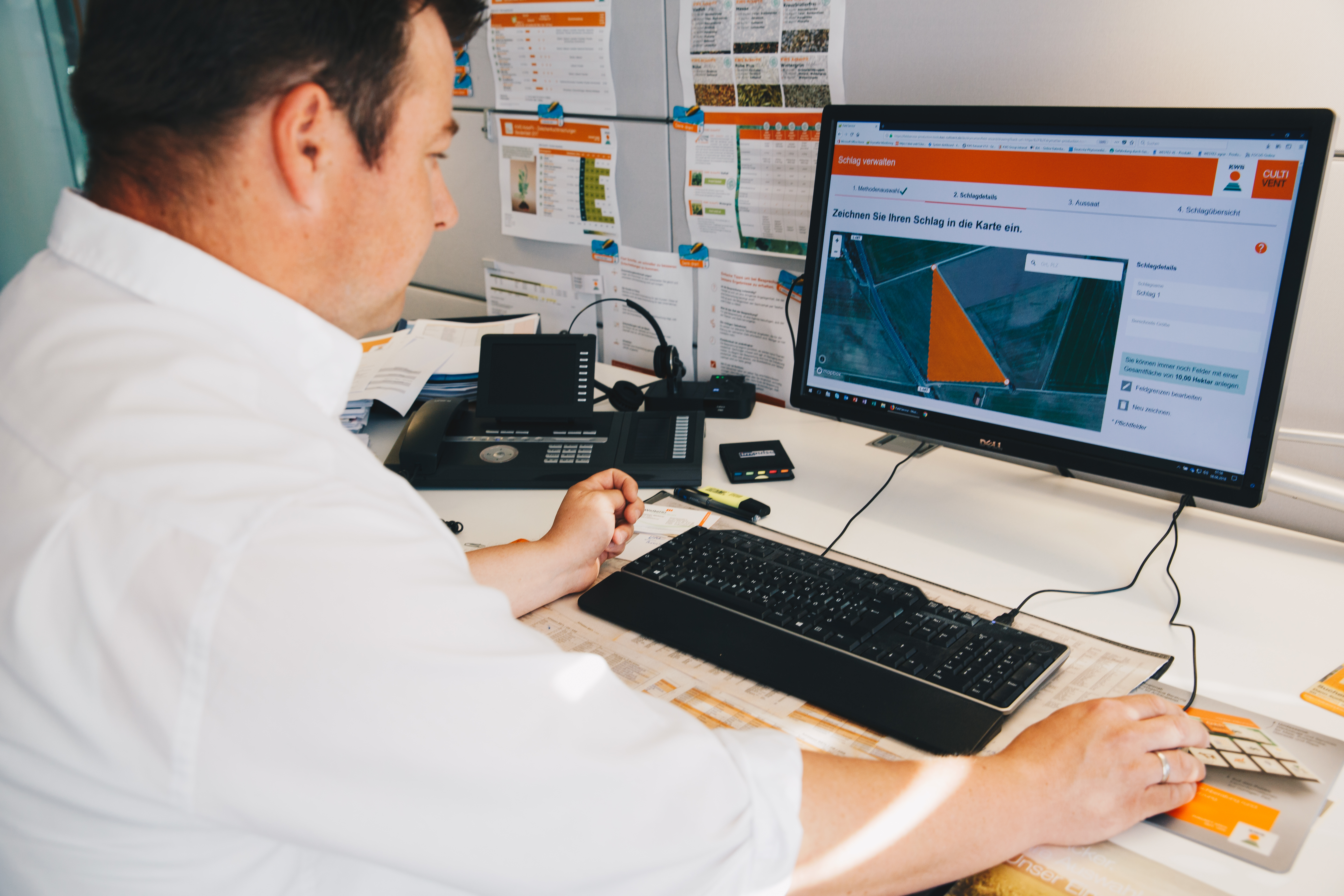
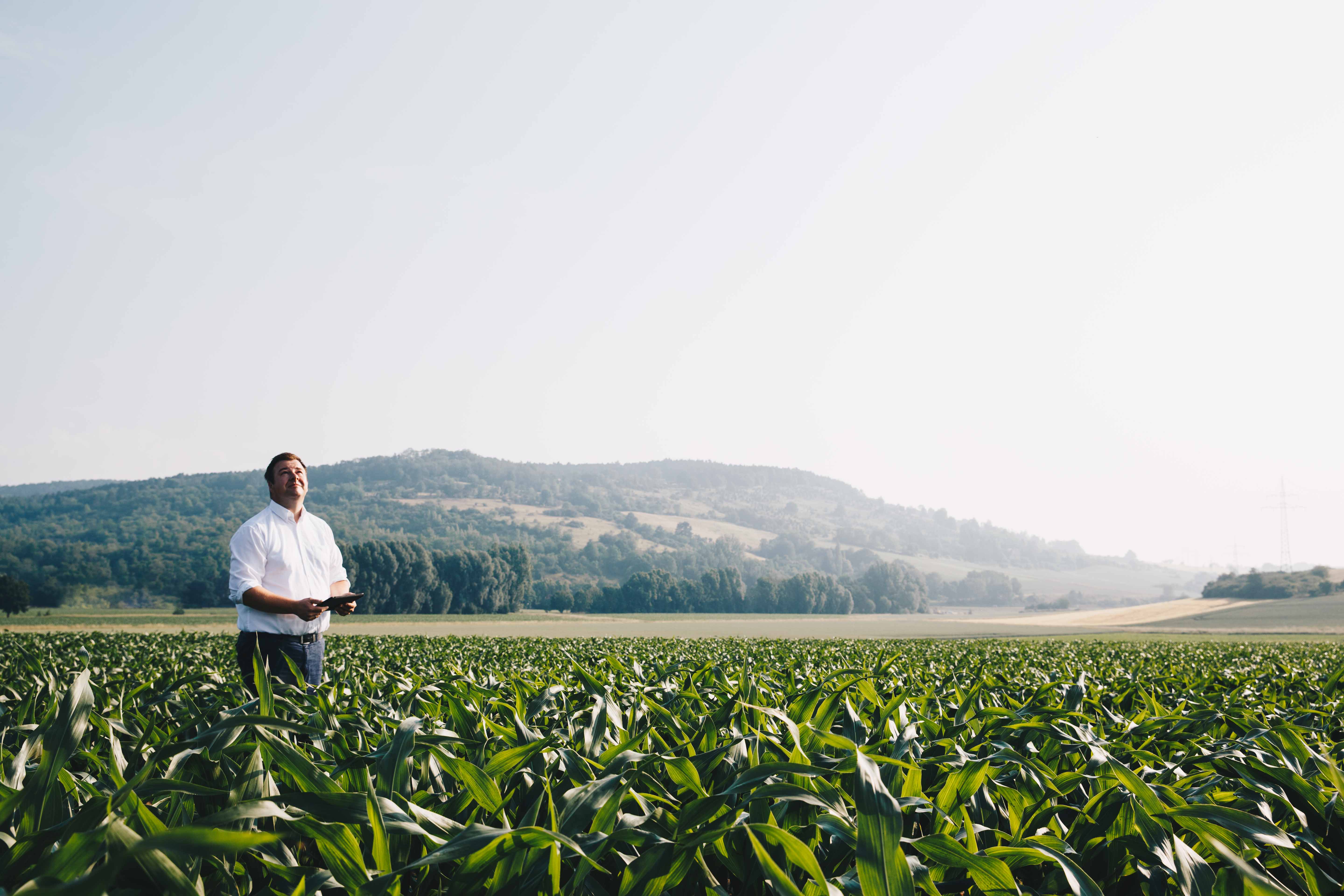
Precision farming thanks to satellites: Since the 2018 season, KWS has been able to detect the ideal time to harvest silage corn - thanks to satellite images supplied by a system that is unique worldwide. If and when desired, farmers obtain a recommendation, tailored to each of their fields and sent directly to their mobile phone, on the best time to harvest their crop.

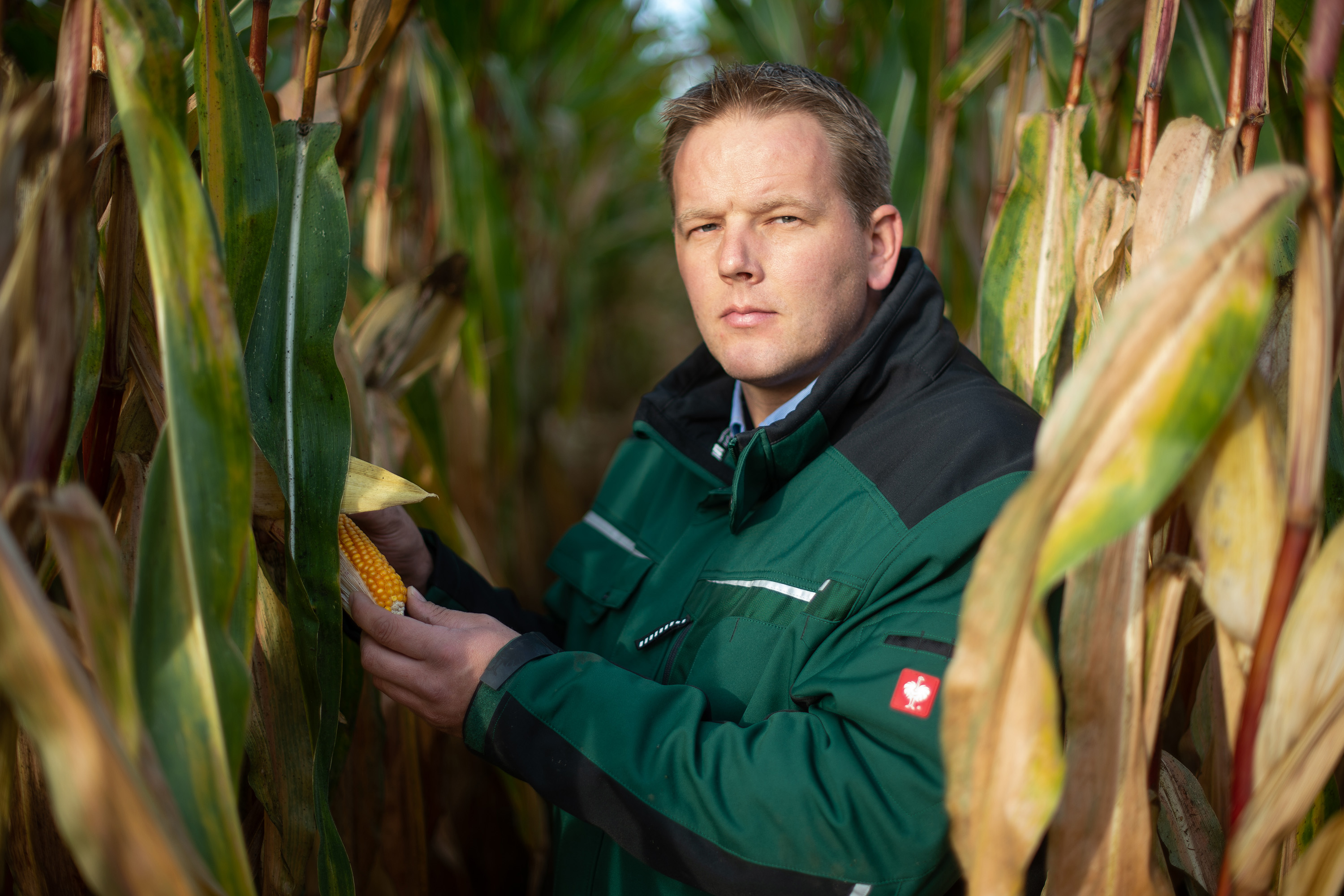
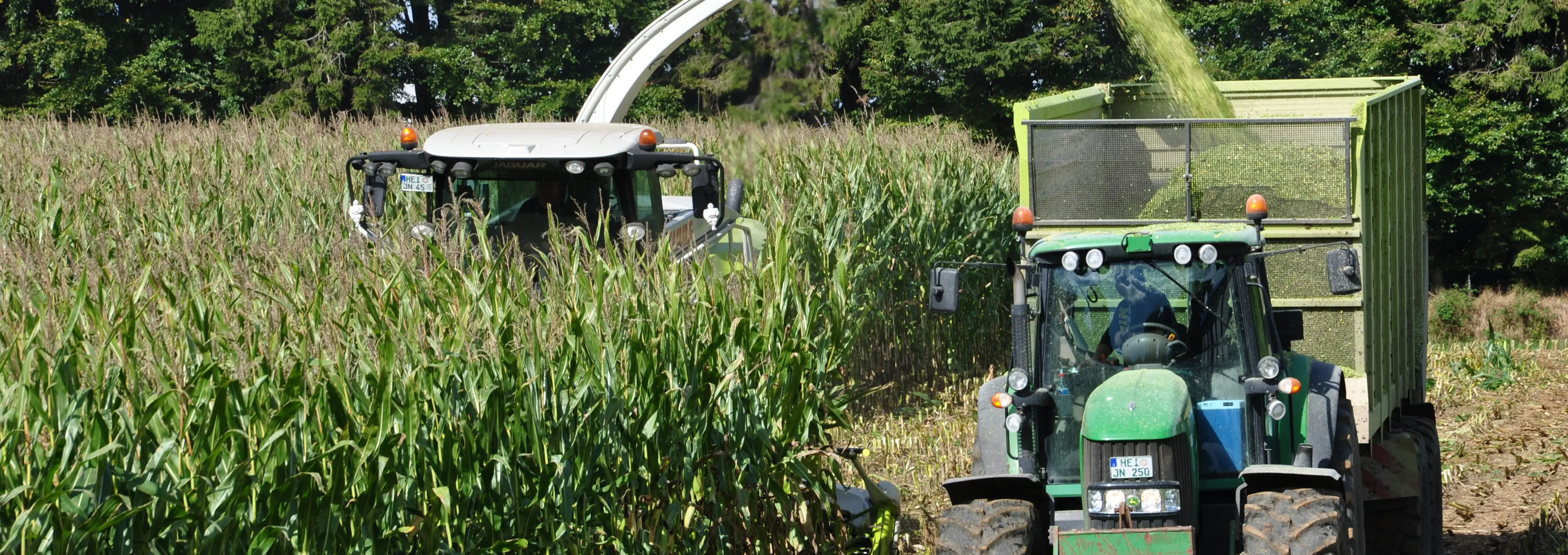
The new system, which is called “SAT TS-Monitoring” (Satellite Dry Matter Monitoring), identifies the dry matter content of plants using satellite images. “30 to 35 percent is ideal. Corn harvested with a dry matter content below 30 percent usually has too little starch. If the content is above 35 percent, there may be higher losses during storage,” explains Project Manager Fabian Böke. The spatial resolution of the system, which KWS has developed in-house, is just a few meters. That means it can analyze individual fields or parts of them. Initial trials at 90 farms throughout Germany confirm how reliable the system is in different climate areas. From 2019 on, the system will be available to all farmers throughout Germany who grow KWS’ corn varieties.

KWS is making a major contribution to particularly efficient farming with its new system. “Farmers put a lot of effort into tending their plants all season long. But harvesting them at the wrong time may mean that the resources used, such as seed, agricultural equipment, diesel fuel and working time, end up not delivering the best-possible results. Satellite-aided forecasting ensures maximum yield,” says Böke.

The farmer Matthias Ebmeyer is already using the system and confirms its advantages: “Before SAT TS-Monitoring, dry matter content was determined by manual sampling – a corn plant was wrung out. The monitoring system has made that far easier.” In particular, the ability to predict the ideal time to harvest is of great benefit when it comes to organizing logistics,” says Ebmeyer, who runs a biogas plant in addition to his farm in the Herford district.

Forecasts for individual fields

KWS already has a network of mobile measurement devices to test the dry matter content of corn plants on the spot (“dry matter monitoring”). However, there are many, highly different small climate areas throughout Germany, such as in Bavaria and Baden-Württemberg. It used to be difficult to sample all these locations in a short time and analyze them fast enough. “In the previous method of dry matter monitoring, we analyzed three randomly selected plants from each field to reach a decision on the whole field.” However, the divergence is large: Plants at the edge of a field often ripen sooner than those in the center. Images from space deliver the full picture, no matter whether the field is 3 or 300 hectares in size, since the satellite scans the entire field. “There has never been anything like this before,” says Böke, adding: “We’ll become even better in the coming years because the system and its algorithm will be able to give a more accurate reflection of reality on the basis of more data.”

How the system works

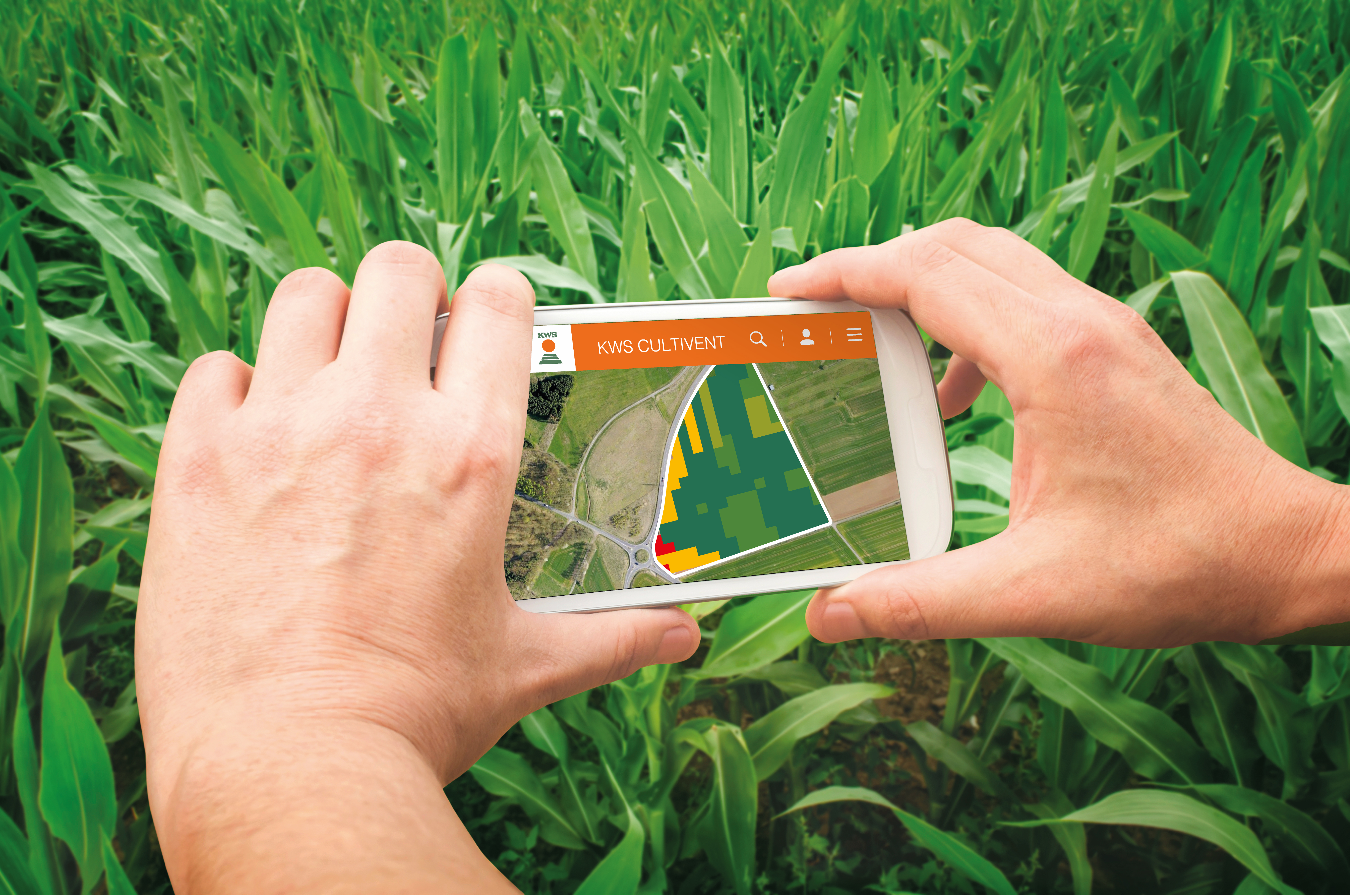
Satellites orbit the Earth at regular intervals and enable pictures of every single field at an almost constant cycle of about every three to four days. The corn sown there grows over time and, among other things, changes color – from light green to dark green. That means that the light spectrum reflected by the plants also changes – and the satellites pick that up. An algorithm created by KWS itself can then use those images to calculate the plants’ dry matter content very precisely. As a result, farmers can obtain the best-possible harvest of the highest quality thanks to images from space. The SAT TS-Monitoring system is available to farmers free of charge as part of the online offering “CultiVent,” provided they grow KWS varieties.

Example of precision farming

The system is an example of what is called “precision farming.” Sensors and measurement and satellite data ensure that farmers obtain a precise picture of every field and can tailor their decisions exactly and purposefully on the basis of that information. Moreover, precision farming even makes it possible to identify differences within a field. Because the ground and plant stands are analyzed right down to a very small area, fields can be cultivated with extreme precision. For example, seed can be sown or fertilizer applied with an accuracy down to the last centimeter. “Areas are fertilized and irrigated only if necessary. That results in more efficient use of resources and thus greater sustainability,” says Böke. That’s one of the main goals KWS aims to achieve with its offering for farmers.

Watching as it ripens: The animation shows corn ripening in Germany. Blue stands for unripe plants and red for ripe ones. Ripening commences in the warm regions along the Rhine Rift Valley and in eastern Germany in the course of the season.

Background: precision farming – the digital revolution in agriculture

Some call it “smart farming,” others “precision farming.” But both mean the same thing: tailored cultivation of a field with the help of data analyses and digitally controlled machines. They might be drones that are equipped with cameras, fly over the field and detect plant diseases. Or robots that automatically distinguish weeds from crops and then mechanically remove the weeds.

Broad basis for decision-making

Other machines collect information on the yield in the different areas of a field during harvesting and transmit the data to a digital field file. That often shows that the yield varies considerably within the space of just a few meters. By combining all this information, farmers can build a larger and larger database over time to enable them to make more reliable decisions.

Tailored and sustainable

Machines and digital technology also help farmers put this knowledge into practice: Seed, fertilizer, water or pesticides are no longer distributed evenly over the fields, but applied in a made-to-measure way, square meter by square meter. The result: the right quantities of fertilizer and seed at precisely the right spot. That conserves resources and contributes to sustainable agriculture – to the benefit of farmers and the environment alike.

New benefits – down to the precise centimeter

Drones and satellites that fly above fields at different altitudes enable precision farming. Their cameras detect the extent of land cover or the type of vegetation. Satellites fly over the same spot every few days. The consecutive images they take reveal how the plants in a specific field are developing. Smart algorithms can be used to analyze these photos and create new benefits: It is possible to identify the growth rate or a threat of disease, the canopy closure or the ideal time of harvesting – with an accuracy down to the last centimeter. Humans alone could not do any of that. Many universities, companies and start-ups are exploring the possibilities offered by this “Farming 4.0,” as it is sometimes called in reference to the term “Industry 4.0,” i.e. connected manufacturing.

Precise control

The European Union emphasizes the importance of precision farming. A study commissioned by the European Parliament comes to the conclusion: “Considering future societal and environmental needs, the main challenge for EU agriculture will be its ability to ensure a high level of productivity while improving the protection of natural resources. Precision agriculture is an information-based, decision-making approach to farm management designed to improve the agricultural process by precisely managing each step.”

DLG: Digitalization plays an outstanding role

“The objectives of producing food and protecting the environment may conflict with each other,” states a position paper of the German Agricultural Society (DLG). And: “(…) it is therefore necessary – specifically in Germany, a prime location for agriculture – to find solutions to conflicts that are supported by broad social consensus. What is needed are new, forward-looking concepts that are tailored to the variety of locations and strengthen competition. Digitalization will play an outstanding role in that.”

A billion-dollar market

Not least, the issue is of economic importance. Agricultural experts from the consulting firm Accenture estimate that the global market for digital agriculture services will grow to 4.55 billion dollars by 2020, noting: “Greater use of digital agriculture services is vital to not only improving a farm’s financial performance, but also to meeting the food needs of an expanding population.”

Back to the "World of Farming" main page

Your contact

Stephan Krings
Stephan Krings
Head of Global Marketing and Communications
Send E-mail
CONTACT